
Copenhagen, Stockholm & Oslo
This is leg 1 of 2, the opening leg.
 Get the app
Travel leg · Scandinavian Capitals
Copenhagen and Stockholm sit about 522 km (324 mi) apart in a straight line, with Stockholm to the north-east. It is leg 1 of 2 on our Scandinavian Capitals itinerary, an 8-day trip. It crosses from Denmark into Sweden. Here is how long it takes by train, what to see on the way and where it fits in a real itinerary.

Road distance is estimated as 1.2–1.4× the straight line; drive time assumes average speeds of 65–95 km/h with no stops or traffic. These are rough estimates — check a maps app for the actual route.
We don't have live routing data, so the figures below are labelled estimates built from the straight-line distance. Use them to plan the day, then confirm in a maps app.
Our Scandinavian Capitals itinerary is easy to do on public transport, so a train is the likely way to cover this leg. Timetables and direct connections vary — check the operator before you book.
Driving is an estimated 627–731 km (389–454 mi) and 6 h 30 min – 11 h 15 min at typical average speeds, not a routed time.
Trains link the capitals well, and some travelers add short flights or an overnight ferry for variety. Within each city, walking, public transit and bikes are the usual choices. You rarely need a car on this route.
Picks from our curated guides at both ends.
Plan two to three days across the islands: old town, Djurgården museums, Södermalm views and food halls.

Gamla Stan's oldest square, ringed by colored merchant houses.

Classic konditori since 1928 for coffee and cardamom buns.

Interactive museum where you can sing and dance alongside the band.
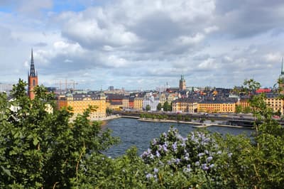
Cliffside walkway with views over Riddarfjärden and City Hall.

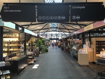
Food hall from 1888 with seafood counters and Swedish classics.
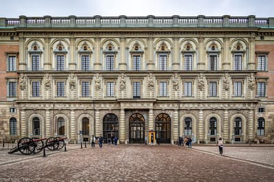
Baroque palace with state apartments, the Treasury and a daily guard change.
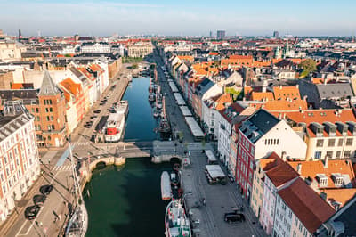
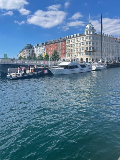
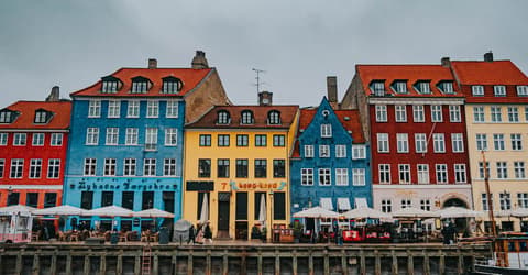
Give it two to three days: canals and palaces, a market lunch, Tivoli at night and a day trip to Louisiana.
Where Copenhagen → Stockholm sits in the full itinerary. Highlighted stops are this leg.
Copenhagen, Stockholm & Oslo
This is leg 1 of 2, the opening leg.
Going the other way? Stockholm to Copenhagen is the same 522 km in a straight line, heading south-west. Reverse directions in Google Maps ↗
The biggest gap comes in December, when Stockholm averages highs 3°C cooler than Copenhagen.
| Measure | Jan | Feb | Mar | Apr | May | Jun | Jul | Aug | Sep | Oct | Nov | Dec |
|---|---|---|---|---|---|---|---|---|---|---|---|---|
| Copenhagen high | 3° | 3° | 5° | 10° | 15° | 18° | 21° | 21° | 17° | 12° | 8° | 4° |
| Stockholm high | -1° | 0° | 3° | 9° | 15° | 20° | 23° | 22° | 17° | 10° | 4° | 1° |
| Copenhagen rain | 61 | 48 | 42 | 34 | 47 | 64 | 69 | 83 | 54 | 70 | 62 | 63 |
| Stockholm rain | 47 | 40 | 39 | 37 | 50 | 78 | 70 | 72 | 55 | 63 | 61 | 54 |
Temperatures in °C, rain in mm per month. Long-term monthly averages from NASA POWER satellite climatology — a guide to typical conditions, not a forecast. Month headings link to Stockholm month guides.
Copenhagen is about 522 km (324 mi) from Stockholm in a straight line, with Stockholm to the north-east. By road, we estimate 627–731 km (389–454 mi), or 1.2–1.4 times the straight line. Check a maps app for the exact route.
An estimated 6 h 30 min – 11 h 15 min, assuming 627–731 km of road at average speeds of 65–95 km/h with no stops or traffic. It is not a routed time, so check a maps app on the day. Our itinerary leans on rail, so check train times too.
Our Scandinavian Capitals itinerary includes this leg. Scandinavian Capitals runs about 8 days across 3 stops, best in Jun – Aug.
Add this leg to a shared itinerary, poll the group on where to stop, split fuel and tickets, and keep everyone's packing list in one place in TripsCircle.