
Tivoli lights, Andersen's town, old-town Yule
This is leg 1 of 2, the opening leg.
 Get the app
Travel leg · Copenhagen, Odense & Aarhus
Copenhagen and Odense sit about 141 km (87 mi) apart in a straight line, with Odense to the west. It is leg 1 of 2 on our Copenhagen, Odense & Aarhus itinerary, a 6-day trip. Here is how long it takes by train, what to see on the way and where it fits in a real itinerary.

Road distance is estimated as 1.2–1.4× the straight line; drive time assumes average speeds of 65–95 km/h with no stops or traffic. These are rough estimates — check a maps app for the actual route.
We don't have live routing data, so the figures below are labelled estimates built from the straight-line distance. Use them to plan the day, then confirm in a maps app.
Our Copenhagen, Odense & Aarhus itinerary is planned around rail, so a train is the likely way to cover this leg. Timetables and direct connections vary — check the operator before you book.
Driving is an estimated 169–197 km (105–122 mi) and 1 h 45 min – 3 h at typical average speeds, not a routed time.
No car needed. Fly into Copenhagen Airport (13 minutes by metro or train to the centre). DSB InterCity trains run Copenhagen – Odense in about 1 h 15 min and Odense – Aarhus in about 1 h 35 min, several times an hour; seat reservations are cheap and worth it on December Fridays. All three city centres are walkable; Den Fynske Landsby is a short bus ride or a 40-minute walk along the river from central Odense.
Picks from our curated guides at both ends.
Andersen's hometown; one or two nights for the old-town market and the Funen Village.

The museum built around Andersen's birthplace, with a Kengo Kuma-designed pavilion and garden telling his life and tales.

Open-air museum of Funen farms, mills and a village school; on the first two December weekends it celebrates an old-style Christmas.

Restaurant in a half-timbered 1683 merchant house on Overgade, serving Danish classics in candlelit rooms.
Weekend market in the cobbled Andersen quarter with stalls set up in a 19th-century style, crafts, gløgg and æbleskiver.
Design hotel beside the Odeon concert hall, a few minutes' walk from the Andersen quarter and the station.
The small house on Munkemøllestræde where Andersen lived from age two to fourteen.
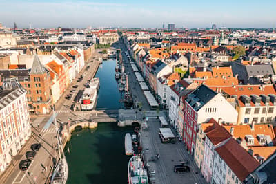
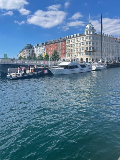
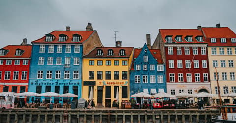
Three nights for Jul i Tivoli, Nyhavn and the Kongens Nytorv lights.
Where Copenhagen → Odense sits in the full itinerary. Highlighted stops are this leg.
Tivoli lights, Andersen's town, old-town Yule
This is leg 1 of 2, the opening leg.
Going the other way? Odense to Copenhagen is the same 141 km in a straight line, heading east. Reverse directions in Google Maps ↗
Average daytime highs at both ends stay within 1°C of each other all year, so you can pack the same way for both.
| Measure | Jan | Feb | Mar | Apr | May | Jun | Jul | Aug | Sep | Oct | Nov | Dec |
|---|---|---|---|---|---|---|---|---|---|---|---|---|
| Copenhagen high | 3° | 3° | 5° | 10° | 15° | 18° | 21° | 21° | 17° | 12° | 8° | 4° |
| Odense high | 3° | 3° | 5° | 10° | 15° | 18° | 21° | 20° | 17° | 12° | 8° | 4° |
| Copenhagen rain | 61 | 48 | 42 | 34 | 47 | 64 | 69 | 83 | 54 | 70 | 62 | 63 |
| Odense rain | 58 | 47 | 42 | 36 | 49 | 68 | 74 | 78 | 58 | 69 | 61 | 61 |
Temperatures in °C, rain in mm per month. Long-term monthly averages from NASA POWER satellite climatology — a guide to typical conditions, not a forecast. Month headings link to Odense month guides.
Copenhagen is about 141 km (87 mi) from Odense in a straight line, with Odense to the west. By road, we estimate 169–197 km (105–122 mi), or 1.2–1.4 times the straight line. Check a maps app for the exact route.
An estimated 1 h 45 min – 3 h, assuming 169–197 km of road at average speeds of 65–95 km/h with no stops or traffic. It is not a routed time, so check a maps app on the day. Our itinerary leans on rail, so check train times too.
Our Copenhagen, Odense & Aarhus itinerary includes this leg. Copenhagen, Odense & Aarhus runs about 6 days across 3 stops, best in Mid-Nov – Dec.
Add this leg to a shared itinerary, poll the group on where to stop, split fuel and tickets, and keep everyone's packing list in one place in TripsCircle.