


Ferries, forest gardens & whale-country shores
This is leg 2 of 2, the final leg.
 Get the app
Travel leg · Puget Sound Islands
Bainbridge Island and San Juan Island sit about 107 km (67 mi) apart in a straight line, with San Juan Island to the north. It is leg 2 of 2 on our Puget Sound Islands itinerary, a 5-day trip. This one most likely involves a water crossing, so check ferry schedules early.
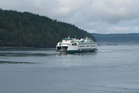
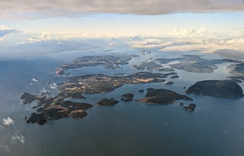
This leg most likely crosses water, so we don’t estimate road distance or drive time. Check ferry or flight schedules for the actual crossing.
We don't have live routing data, so the figures below are labelled estimates built from the straight-line distance. Use them to plan the day, then confirm in a maps app.
San Juan Island most likely needs a water crossing from here, so start with ferry schedules. Sailings can vary by season.
Ferries do the heavy lifting. Seattle connects to Bainbridge Island by a short crossing, while reaching San Juan Island means a longer ferry trip from the mainland. You can go on foot or bring a car, and most visitors use local transit, taxis or rentals on the islands.
Open Bainbridge Island → San Juan Island directions in Google Maps ↗
Picks from our curated guides at both ends.
Stay two nights: one day for the west side's orca shoreline and Roche Harbor, one for a whale-watching boat.
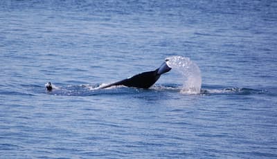
Small Friday Harbor museum on the Southern Resident orcas and local research.
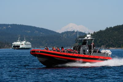
Boat tours to find orcas, humpbacks and minke whales in Haro Strait.
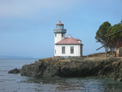
Lighthouse shoreline known as one of the best places to see orcas from land.
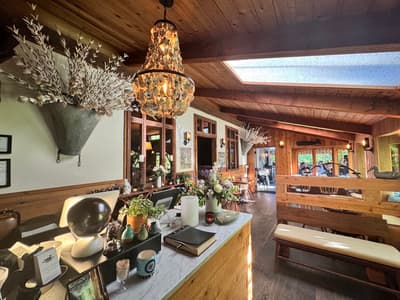
Long-running island restaurant using local produce and seafood.

Brewpub two blocks from the ferry with pizzas and a patio.
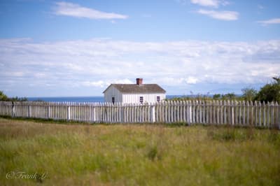
Open prairie and beaches from the 1859 Pig War, part of the national historical park.
A relaxed day trip from Seattle: walk Winslow from the ferry, then drive or bike to Bloedel and the memorial.
Where Bainbridge Island → San Juan Island sits in the full itinerary. Highlighted stops are this leg.
Ferries, forest gardens & whale-country shores
This is leg 2 of 2, the final leg.
Going the other way? San Juan Island to Bainbridge Island is the same 107 km in a straight line, heading south. Reverse directions in Google Maps ↗
The biggest gap comes in July, when San Juan Island averages highs 3°C cooler than Bainbridge Island. Over a year, Bainbridge Island gets about 240 mm more rain.
| Measure | Jan | Feb | Mar | Apr | May | Jun | Jul | Aug | Sep | Oct | Nov | Dec |
|---|---|---|---|---|---|---|---|---|---|---|---|---|
| Bainbridge Island high | 8° | 9° | 11° | 14° | 18° | 20° | 24° | 24° | 21° | 15° | 10° | 7° |
| San Juan Island high | 7° | 8° | 9° | 12° | 15° | 18° | 21° | 21° | 18° | 13° | 9° | 7° |
| Bainbridge Island rain | 174 | 108 | 138 | 95 | 70 | 51 | 19 | 29 | 58 | 125 | 188 | 175 |
| San Juan Island rain | 147 | 84 | 106 | 70 | 52 | 37 | 18 | 27 | 50 | 109 | 154 | 137 |
Temperatures in °C, rain in mm per month. Long-term monthly averages from NASA POWER satellite climatology — a guide to typical conditions, not a forecast. Month headings link to San Juan Island month guides.
Bainbridge Island is about 107 km (67 mi) from San Juan Island in a straight line, with San Juan Island to the north. The trip most likely involves a water crossing, so the distance you actually travel depends on the ferry or flight route.
We don't estimate a drive time for this one: it most likely crosses water, so check ferry schedules before you plan the day.
Our Puget Sound Islands itinerary includes this leg. Puget Sound Islands runs about 5 days across 3 stops, best in May – Sep.
Add this leg to a shared itinerary, poll the group on where to stop, split fuel and tickets, and keep everyone's packing list in one place in TripsCircle.