

Outdoors Tourist Corridor, Los Cabos
Playa Chileno
An outdoor spot in Tourist Corridor, Los Cabos, free to visit and worth about 3 hours. Best time to go: Morning.

Why go
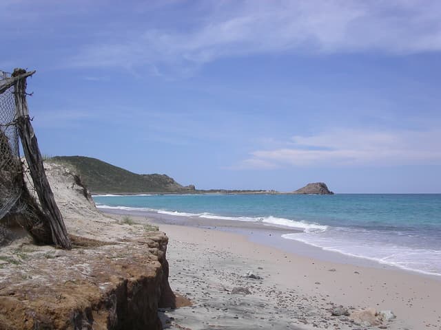
Protected bay on the Corridor with good snorkeling, shade palapas and lifeguards.
It is one of 9 curated places we feature in Los Cabos, alongside 2 places to eat, 2 outdoor spots and 2 sights. The closest of our other picks is El Arco de Cabo San Lucas, 12 km away as the crow flies.
- Type
- Outdoors · Beaches
- Neighborhood
- Tourist Corridor
- Price
- Free
- Time needed
- 3 hr
- Best time
- Morning
Nearby
The 6 closest curated picks in Los Cabos, measured as straight-line distance.
- 1El Arco de Cabo San Lucas
Granite arch at Land's End where the Pacific meets the Sea of Cortez, seen by water taxi or glass-bottom boat.
Sight · 12 km straight-line - 2Whale Watching
Boat tours to see humpbacks breaching off the cape between December and April.
Activity · 13 km straight-line - 3Cabo Wabo Cantina
Sammy Hagar's long-running rock bar and live music venue in downtown Cabo.
Drinks · 13 km straight-line - 4Playa Médano
Calm, swimmable beach facing El Arco, lined with beach clubs and water sports.
Outdoors · 15 km straight-line - 5San José del Cabo Art District
Galleries around Plaza Mijares, with a Thursday evening Art Walk November to June.
Sight · 17 km straight-line - 6Acre
Restaurant and farm set in a palm grove, cooking wood-fired dishes with local produce.
Food · 19 km straight-line
On these curated routes
Playa Chileno is a stop on our Los Cabos, Todos Santos & La Paz route. Open it to see the full day-by-day plan.

More outdoor spots in Los Cabos
Another curated outdoor spot in Los Cabos. See the full Los Cabos guide.
When to go
Average daily highs in Los Cabos run from 24°C in January to 30°C in August; September is usually the wettest month. For Playa Chileno itself, we suggest: Morning.
Modelled monthly averages for Los Cabos from NASA POWER, not a forecast. Full Los Cabos weather by month.
Getting there
Map links open a live search for Playa Chileno, so hours and directions come straight from the map app.
- Address
- Acceso a Playa El Chileno, Tourist Corridor, Cabo San Lucas, B.C.S., Mexico
- Coordinates
- 22.94972, -109.80711
- Destination
- Los Cabos, Baja California Sur
Playa Chileno: quick answers
How much time do you need at Playa Chileno?
Plan on about 3 hours at Playa Chileno. That is our curated estimate for a typical visit; groups that linger will want more.
When is the best time to visit Playa Chileno?
Our pick: Morning. Insider tip: Arrive early for parking and shade.
Is Playa Chileno free?
Yes, we list Playa Chileno as free to visit. Check locally before you go, since special exhibits, parking or tours can carry a fee.
Where is Playa Chileno?
Playa Chileno is at Acceso a Playa El Chileno, Tourist Corridor, Cabo San Lucas, B.C.S., Mexico. The Google Maps and Apple Maps links on this page open it for directions.
Which TripsCircle routes include Playa Chileno?
Playa Chileno appears on Los Cabos, Todos Santos & La Paz, a curated route you can open on TripsCircle and plan with your group.
Add Playa Chileno to your crew's plan
Save it to a shared TripsCircle itinerary, settle the timing with a quick poll, and split the costs with everyone going to Los Cabos.
Plan Los Cabos
- Los Cabos travel guide 9 places
- Best time to visit Los Cabos weather by month
- Los Cabos to Todos Santos 66 km straight-line
Lists & regions
Also in Los Cabos
- Flora Farms Food
Curated recommendation, not live listing data. Confirm hours, prices, bookings and access before you go.