

Mexico · regional guide
Baja California Sur travel guide
Baja California Sur shows up in 1 curated route on TripsCircle, with 3 destinations and 27 hand-picked places along the way. Its route is filed under beaches. It runs 8 days end to end.

- Destinations
- 3
- Places
- 27
- Curated routes
- 1
- Trip lengths
- 8 days
- Routes favor
- Nov – Apr
Where our routes go in Baja California Sur
Tap a dot to open that destination's guide.
3 destinations in Baja California Sur
Ordered by how many of our curated routes stop there, then by how many places we have picked.


Best of Baja California Sur
Our curated picks by theme, drawn from the places our route editors chose for their routes.
Places worth planning around
A short sampler from the 27 places in Baja California Sur, starting with those featured on the most of our routes.
 Outdoors
Espíritu Santo Island
Protected desert island with red cliffs, white beaches and a sea lion colony at Los Islotes.
 Outdoors
Cabo Pulmo National Park
Living coral reef on the East Cape with schools of jacks, rays and sea lions.
 Outdoors
Playa La Pastora
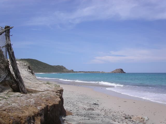
Long empty Pacific beach and surf break north of town, good for walks and whales offshore.
 See
Malecón de La Paz
Five-kilometre seafront promenade lined with sculptures, palms and sunset views.
 See
El Arco de Cabo San Lucas
Granite arch at Land's End where the Pacific meets the Sea of Cortez, seen by water taxi or glass-bottom boat.
 Outdoors
Playa Los Cerritos
Sheltered Pacific beach with beginner surf, board rentals and beach bars.
Curated routes through Baja California Sur
One curated route stops here. Open it for the day-by-day plan.

Best time to visit Baja California Sur
Our route here recommends Nov – Apr.
Climate averages (NASA POWER, 2001–2025) for 3 of our destinations here: August is the warmest month, with average highs near 92°F (33°C), and January the coolest at about 77°F (25°C). September is the wettest, around 4.0 in (102 mm) of rain, and May the driest at about less than 0.1 in (3 mm).
NASA POWER is a gridded model (roughly 50 km cells), so coastal and mountain spots read as regional averages.
Weather by destination
Getting around Baja California Sur
Legs between consecutive stops on our routes. Distances are straight-line estimates, not driving distances.
- Los Cabos → Todos Santosabout 66 km (41 mi) straight-line
- Todos Santos → La Pazabout 78 km (48 mi) straight-line
Planning a trip to Baja California Sur
How many days do you need for a trip to Baja California Sur?
Our curated route here is planned as a 8-day trip. Shorter visits work if you focus on one or two destinations.
What are the best places to visit in Baja California Sur?
Going by how often our route team includes them, the most-featured destinations in Baja California Sur are La Paz, Los Cabos and Todos Santos. La Paz alone has 9 hand-picked places in our guides.
When is the best time to visit Baja California Sur?
Our route here recommends Nov – Apr. NASA POWER averages put the warmest weather in August and the most rain in September.
Where can I find the best restaurants in Baja California Sur?
See our curated picks: best restaurants in Baja California Sur, chosen from 6 places in our curated routes. We also have lists for things to do and outdoor spots.
More in Mexico
- Mexico travel guide
- Jalisco 3 destinations
- Quintana Roo 3 destinations
Take your crew to Baja California Sur
Start from one of our Baja California Sur routes in TripsCircle, then shape it together: shared itinerary, polls for the big decisions, split expenses and packing lists.