

Outdoors Central District, Shenandoah
Hawksbill Summit
An outdoor spot in Central District, Shenandoah, free to visit and worth about 1.5 hours. Best time to go: Sunset.
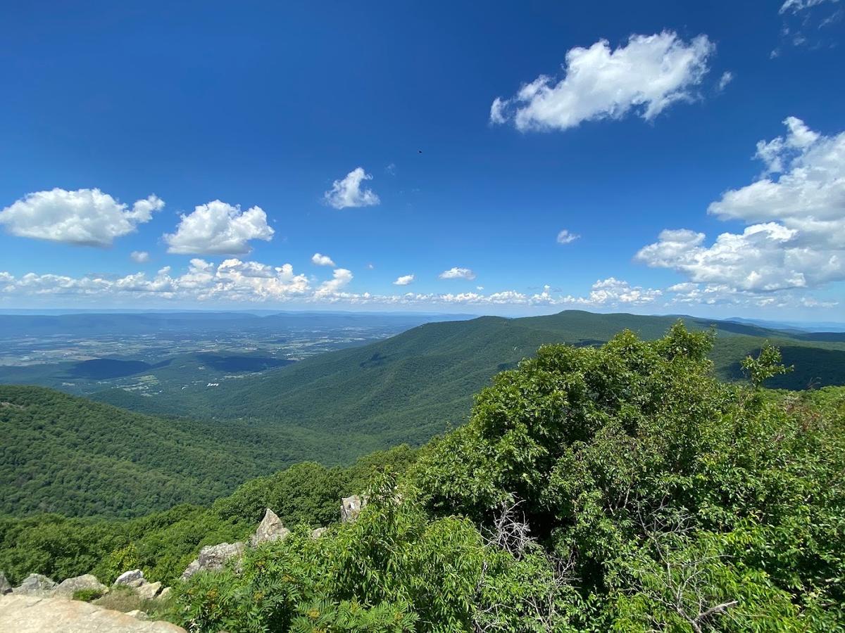
Why go
Highest point in the park, with a stone observation platform.
It is one of 10 curated places we feature in Shenandoah, alongside 3 outdoor spots, 2 places to eat and 2 sights. The closest of our other picks is Pollock Dining Room at Skyland, 2.7 mi away as the crow flies.
- Type
- Outdoors · Nature
- Neighborhood
- Central District
- Price
- Free
- Time needed
- 1.5 hr
- Best time
- Sunset
Nearby
The 6 closest curated picks in Shenandoah, measured as straight-line distance.
- 1Pollock Dining Room at Skyland
Park lodge dining room with valley views and blackberry ice cream pie.
Food · 2.7 mi straight-line - 2Stony Man Trail
Easy 1.6-mile loop to cliffs with wide views over the Shenandoah Valley.
Outdoors · 2.8 mi straight-line - 3Dark Hollow Falls Trail
Short, steep hike to a 70-foot cascade near Big Meadows.
Outdoors · 3.0 mi straight-line - 4Old Rag Mountain
Rock-scramble summit hike, the park's most famous and toughest day hike.
Activity · 5.6 mi straight-line - 5Skyline Drive
105-mile ridgetop road through Shenandoah National Park with 70 overlooks.
Sight · 6.4 mi straight-line - 6Luray Caverns
Large show cave with stalactites and the Great Stalacpipe Organ.
Sight · 8.9 mi straight-line
On these curated routes
Hawksbill Summit is a stop on our Blue Ridge Parkway Slow Drive route. Open it to see the full day-by-day plan.

More outdoor spots in Shenandoah
Another curated outdoor spot in Shenandoah. See the full Shenandoah guide.

When to go
Average daily highs in Shenandoah run from 34°F in January to 82°F in July; May is usually the wettest month. For Hawksbill Summit itself, we suggest: Sunset.
Modelled monthly averages for Shenandoah from NASA POWER, not a forecast. Full Shenandoah weather by month.
Getting there
Map links open a live search for Hawksbill Summit, so hours and directions come straight from the map app.
- Address
- Shenandoah National Park, Luray, VA 22835, USA
- Coordinates
- 38.55535, -78.39513
- Destination
- Shenandoah, Virginia
Hawksbill Summit: quick answers
How much time do you need at Hawksbill Summit?
Plan on about 1.5 hours at Hawksbill Summit. That is our curated estimate for a typical visit; groups that linger will want more.
When is the best time to visit Hawksbill Summit?
Our pick: Sunset. Insider tip: Upper Hawksbill trail is the easier 2-mile option.
Is Hawksbill Summit free?
Yes, we list Hawksbill Summit as free to visit. Check locally before you go, since special exhibits, parking or tours can carry a fee.
Where is Hawksbill Summit?
Hawksbill Summit is at Shenandoah National Park, Luray, VA 22835, USA, in Central District. The Google Maps and Apple Maps links on this page open it for directions.
Which TripsCircle routes include Hawksbill Summit?
Hawksbill Summit appears on Blue Ridge Parkway Slow Drive, a curated route you can open on TripsCircle and plan with your group.
Add Hawksbill Summit to your crew's plan
Save it to a shared TripsCircle itinerary, settle the timing with a quick poll, and split the costs with everyone going to Shenandoah.
Plan Shenandoah
- Shenandoah travel guide 10 places
- Best time to visit Shenandoah weather by month
- Shenandoah to Asheville 284 mi straight-line
Lists & regions
Also in Shenandoah
- Blue Mountain Brewery Drinks
- Crozet Pizza Food
Curated recommendation, not live listing data. Confirm hours, prices, bookings and access before you go.