
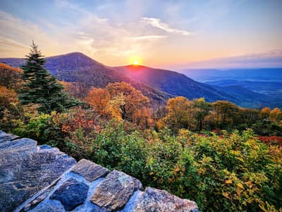

Mountain overlooks, music & small-town stops
This is leg 1 of 2, the opening leg.
 Get the app
Travel leg · Blue Ridge Parkway Slow Drive
Shenandoah and Asheville sit about 456 km (284 mi) apart in a straight line, with Asheville to the south-west. It is leg 1 of 2 on our Blue Ridge Parkway Slow Drive itinerary, a 6-day trip. Here is how long it takes by car, what to see on the way and where it fits in a real itinerary.

Road distance is estimated as 1.2–1.4× the straight line; drive time assumes average speeds of 65–95 km/h with no stops or traffic. These are rough estimates — check a maps app for the actual route.
We don't have live routing data, so the figures below are labelled estimates built from the straight-line distance. Use them to plan the day, then confirm in a maps app.
Most travelers on our Blue Ridge Parkway Slow Drive itinerary do this leg by car. We estimate 548–639 km (340–397 mi) of road and 5 h 45 min – 9 h 45 min behind the wheel, so check live traffic before you set off.
At 456 km in a straight line, some travelers may prefer to fly part of the way if a nearby airport has service.
Driving the Parkway itself is the point, so a car is essential. The speed limit is low and the road winds along ridgelines, which makes every leg slower than a map suggests. Towns along the way are good bases for exploring on foot.
Picks from our curated guides at both ends, plus 7 places near the straight-line path.
Spend 2 days: Biltmore, the River Arts District and downtown food, plus Parkway drives to Craggy Gardens and Mount Pisgah.

Parkway headquarters with a film, interactive map and ranger info.

Southern Highland Craft Guild gallery with Appalachian crafts and demonstrations.

Rhododendron-covered balds with a short trail to a summit shelter.

Chef Katie Button's Spanish tapas bar downtown.

River Arts District brewery with an outdoor yard and food trucks.

1913 granite-boulder lodge on Sunset Mountain with huge stone fireplaces in the Great Hall and long views over Asheville.
These places from our other itineraries sit within about 25 km of the straight line between Shenandoah and Asheville. The road may not pass them directly, so check how far off your route they are.
Family-style restaurant in an old Boone hospital building, serving fried chicken, country ham and biscuits since 1959.
Old-fashioned general store on King Street in Boone, with barrels of candy, outdoor gear and mountain-made goods.

Tweetsie Railroad's steam train runs through lit woods on December evenings, with a decorated Main Street and Santa.
Small family ski area between Blowing Rock and Boone with a ski school, terrain park and an outdoor ice rink.
Main Street restaurant and bottle shop in Blowing Rock serving local trout and Southern plates.

Victorian resort hotel from 1891 at the south end of Blowing Rock, straddling the Eastern Continental Divide.

Former estate on the Blue Ridge Parkway with 25 miles of carriage roads for winter walks and snowshoeing around Flat Top Manor.
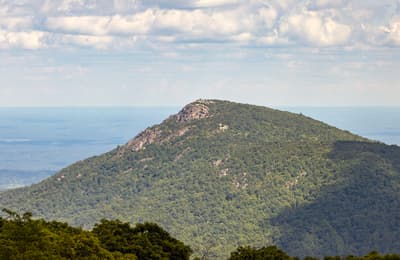
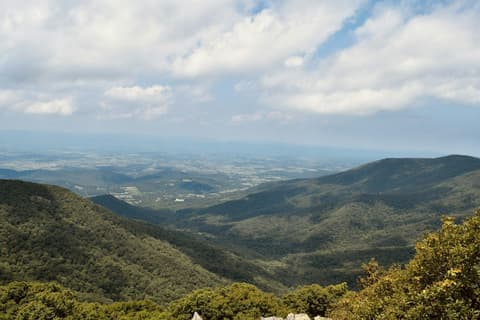
Spend 1–2 days on Skyline Drive: overlooks, a waterfall hike and a summit, then roll south to the Parkway's start at Rockfish Gap.
Where Shenandoah → Asheville sits in the full itinerary. Highlighted stops are this leg.
Mountain overlooks, music & small-town stops
This is leg 1 of 2, the opening leg.
Going the other way? Asheville to Shenandoah is the same 456 km in a straight line, heading north-east. Reverse directions in Google Maps ↗
The biggest gap comes in February, when Asheville averages highs 6°C warmer than Shenandoah. Over a year, Asheville gets about 300 mm more rain.
| Measure | Jan | Feb | Mar | Apr | May | Jun | Jul | Aug | Sep | Oct | Nov | Dec |
|---|---|---|---|---|---|---|---|---|---|---|---|---|
| Shenandoah high | 1° | 3° | 9° | 15° | 20° | 25° | 28° | 27° | 23° | 16° | 9° | 3° |
| Asheville high | 7° | 9° | 14° | 19° | 23° | 27° | 29° | 29° | 26° | 20° | 14° | 9° |
| Shenandoah rain | 60 | 63 | 74 | 93 | 114 | 110 | 101 | 94 | 104 | 87 | 74 | 77 |
| Asheville rain | 99 | 98 | 105 | 113 | 120 | 117 | 135 | 119 | 117 | 98 | 102 | 124 |
Temperatures in °C, rain in mm per month. Long-term monthly averages from NASA POWER satellite climatology — a guide to typical conditions, not a forecast. Month headings link to Asheville month guides.
Shenandoah is about 456 km (284 mi) from Asheville in a straight line, with Asheville to the south-west. By road, we estimate 548–639 km (340–397 mi), or 1.2–1.4 times the straight line. Check a maps app for the exact route.
An estimated 5 h 45 min – 9 h 45 min, assuming 548–639 km of road at average speeds of 65–95 km/h with no stops or traffic. It is not a routed time, so check a maps app on the day.
Near the straight-line path we have 7 places from our curated guides, including Dan'l Boone Inn (Blowing Rock), Mast General Store (Blowing Rock), Tweetsie Christmas (Blowing Rock), Appalachian Ski Mountain (Blowing Rock). The road may not pass them directly, so check the detour.
Our Blue Ridge Parkway Slow Drive itinerary includes this leg. Blue Ridge Parkway Slow Drive runs about 6 days across 3 stops, best in May – Oct.
Add this leg to a shared itinerary, poll the group on where to stop, split fuel and tickets, and keep everyone's packing list in one place in TripsCircle.