


Adobe towns, art roads & high-country light
This is leg 1 of 2, the opening leg.
 Get the app
Travel leg · Northern New Mexico High Desert
Santa Fe and Abiquiú sit about 67 km (42 mi) apart in a straight line, with Abiquiú to the north-west. It is leg 1 of 2 on our Northern New Mexico High Desert itinerary, a 5-day trip. Here is how long it takes by car, what to see on the way and where it fits in a real itinerary.

Road distance is estimated as 1.2–1.4× the straight line; drive time assumes average speeds of 50–80 km/h with no stops or traffic. These are rough estimates — check a maps app for the actual route.
We don't have live routing data, so the figures below are labelled estimates built from the straight-line distance. Use them to plan the day, then confirm in a maps app.
Most travelers on our Northern New Mexico High Desert itinerary do this leg by car. We estimate 81–94 km (50–58 mi) of road and 1 h – 2 h behind the wheel, so check live traffic before you set off.
Most travelers rent a car for the scenic roads between Santa Fe, Taos and Abiquiu, often flying into a regional airport first. The High Road to Taos is a popular route. Santa Fe's historic center and Taos Plaza are walkable.
Picks from our curated guides at both ends.
Spend a full day among the red cliffs O'Keeffe painted: tour her home, hike at Ghost Ranch and Plaza Blanca, soak at Ojo Caliente.

Guided tour of the adobe home and studio where O'Keeffe lived and worked.

Red cliffs and badlands that O'Keeffe painted, with trails, museums and guided tours.

3-mile round trip up a mesa to views over Ghost Ranch and Abiquiú Lake.

Long-running general store and deli serving breakfast burritos and green chile.

Family winery in Dixon making wines from high-altitude New Mexico grapes.

White sandstone spires and hoodoos reached by a short walk.
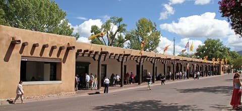
Give Santa Fe two days: the Plaza and Canyon Road on foot, Museum Hill and Meow Wolf, and red or green chile at every meal.
Where Santa Fe → Abiquiú sits in the full itinerary. Highlighted stops are this leg.
Adobe towns, art roads & high-country light
This is leg 1 of 2, the opening leg.
Going the other way? Abiquiú to Santa Fe is the same 67 km in a straight line, heading south-east. Reverse directions in Google Maps ↗
The biggest gap comes in January, when Abiquiú averages highs 2°C warmer than Santa Fe.
| Measure | Jan | Feb | Mar | Apr | May | Jun | Jul | Aug | Sep | Oct | Nov | Dec |
|---|---|---|---|---|---|---|---|---|---|---|---|---|
| Santa Fe high | 5° | 7° | 13° | 18° | 24° | 31° | 31° | 29° | 25° | 18° | 11° | 5° |
| Abiquiú high | 6° | 8° | 14° | 19° | 24° | 31° | 32° | 30° | 26° | 20° | 12° | 6° |
| Santa Fe rain | 19 | 17 | 18 | 19 | 20 | 19 | 62 | 50 | 41 | 30 | 19 | 24 |
| Abiquiú rain | 25 | 24 | 22 | 24 | 24 | 19 | 64 | 53 | 45 | 32 | 23 | 31 |
Temperatures in °C, rain in mm per month. Long-term monthly averages from NASA POWER satellite climatology — a guide to typical conditions, not a forecast. Month headings link to Abiquiú month guides.
Santa Fe is about 67 km (42 mi) from Abiquiú in a straight line, with Abiquiú to the north-west. By road, we estimate 81–94 km (50–58 mi), or 1.2–1.4 times the straight line. Check a maps app for the exact route.
An estimated 1 h – 2 h, assuming 81–94 km of road at average speeds of 50–80 km/h with no stops or traffic. It is not a routed time, so check a maps app on the day.
Our Northern New Mexico High Desert itinerary includes this leg. Northern New Mexico High Desert runs about 5 days across 3 stops, best in Mar – May.
Add this leg to a shared itinerary, poll the group on where to stop, split fuel and tickets, and keep everyone's packing list in one place in TripsCircle.