
Pintxos, green hills & Atlantic villages
This is leg 2 of 2, the final leg.
 Get the app
Travel leg · Basque Coast Food Trail
San Sebastián and Laguardia sit about 98 km (61 mi) apart in a straight line, with Laguardia to the south-west. It is leg 2 of 2 on our Basque Coast Food Trail itinerary, a 5-day trip. Here is how long it takes by car, what to see on the way and where it fits in a real itinerary.

Road distance is estimated as 1.2–1.4× the straight line; drive time assumes average speeds of 50–80 km/h with no stops or traffic. These are rough estimates — check a maps app for the actual route.
We don't have live routing data, so the figures below are labelled estimates built from the straight-line distance. Use them to plan the day, then confirm in a maps app.
Most travelers on our Basque Coast Food Trail itinerary do this leg by car. We estimate 118–137 km (73–85 mi) of road and 1 h 30 min – 2 h 45 min behind the wheel, so check live traffic before you set off.
Our Basque Coast Food Trail guide also mentions trains for parts of the trip. Whether a direct train links San Sebastián and Laguardia depends on the line — check timetables.
Buses and trains link Bilbao and San Sebastián, and both cities are very walkable. Laguardia is smaller and set inland among vineyards, so most travelers reach it by car, organized tour or a combination of bus and taxi.
Picks from our curated guides at both ends.
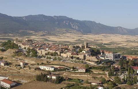
Spend a day and night: wander the walled old town, then visit two or three Rioja Alavesa wineries.
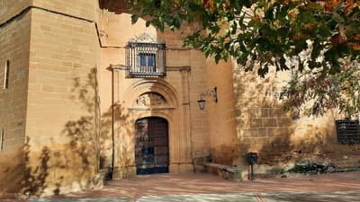
Car-free walled hill town above the vineyards, with wine cellars carved below the streets.
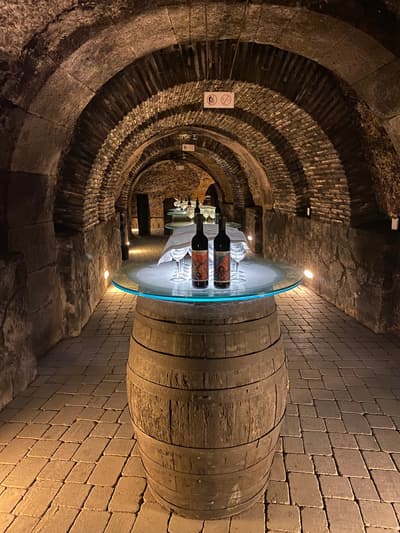
Wine cave dug under the old town, with tours and tastings.
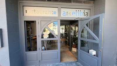
Contemporary Basque-Riojan cooking with views over the vineyards.
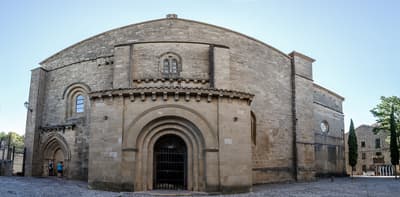
Church with a painted Gothic portico; tours by appointment through the tourist office.
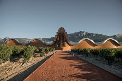
Calatrava winery with a wave-shaped roof against the Sierra de Cantabria.

Historic winery with a Gehry-designed hotel in wavy titanium.
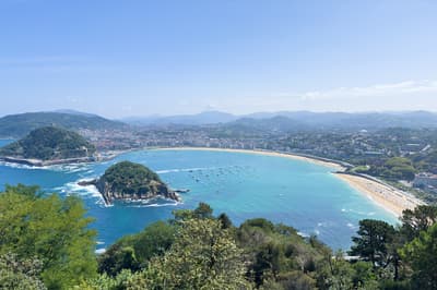
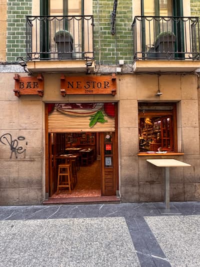
Give it two to three days: walk the bay by day, crawl the Parte Vieja by night, and add a cider house or txakoli winery.
Where San Sebastián → Laguardia sits in the full itinerary. Highlighted stops are this leg.
Pintxos, green hills & Atlantic villages
This is leg 2 of 2, the final leg.
Going the other way? Laguardia to San Sebastián is the same 98 km in a straight line, heading north-east. Reverse directions in Google Maps ↗
The biggest gap comes in July, when Laguardia averages highs 4°C warmer than San Sebastián. Over a year, San Sebastián gets about 430 mm more rain.
| Measure | Jan | Feb | Mar | Apr | May | Jun | Jul | Aug | Sep | Oct | Nov | Dec |
|---|---|---|---|---|---|---|---|---|---|---|---|---|
| San Sebastián high | 12° | 12° | 14° | 16° | 18° | 22° | 23° | 24° | 22° | 20° | 15° | 12° |
| Laguardia high | 9° | 10° | 13° | 16° | 20° | 25° | 28° | 28° | 24° | 19° | 12° | 9° |
| San Sebastián rain | 126 | 95 | 90 | 86 | 82 | 68 | 48 | 51 | 64 | 94 | 149 | 117 |
| Laguardia rain | 65 | 56 | 62 | 61 | 59 | 52 | 30 | 26 | 39 | 58 | 75 | 56 |
Temperatures in °C, rain in mm per month. Long-term monthly averages from NASA POWER satellite climatology — a guide to typical conditions, not a forecast. Month headings link to Laguardia month guides.
San Sebastián is about 98 km (61 mi) from Laguardia in a straight line, with Laguardia to the south-west. By road, we estimate 118–137 km (73–85 mi), or 1.2–1.4 times the straight line. Check a maps app for the exact route.
An estimated 1 h 30 min – 2 h 45 min, assuming 118–137 km of road at average speeds of 50–80 km/h with no stops or traffic. It is not a routed time, so check a maps app on the day.
Our Basque Coast Food Trail itinerary includes this leg. Basque Coast Food Trail runs about 5 days across 3 stops, best in May – Oct.
Add this leg to a shared itinerary, poll the group on where to stop, split fuel and tickets, and keep everyone's packing list in one place in TripsCircle.