
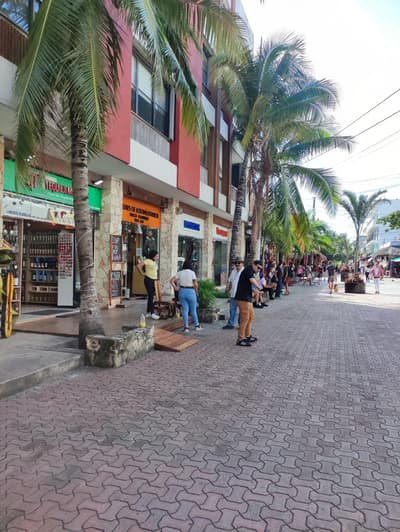
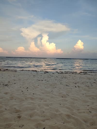

Cenotes, Mayan ruins & a seven-color lagoon
This is leg 1 of 2, the opening leg.
 Get the app
Travel leg · Tulum & Riviera Maya
Playa del Carmen and Tulum sit about 62 km (38 mi) apart in a straight line, with Tulum to the south-west. It is leg 1 of 2 on our Tulum & Riviera Maya itinerary, a 7-day trip. Here is how long it takes by car, what to see on the way and where it fits in a real itinerary.
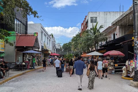

Road distance is estimated as 1.2–1.4× the straight line; drive time assumes average speeds of 50–80 km/h with no stops or traffic. These are rough estimates — check a maps app for the actual route.
We don't have live routing data, so the figures below are labelled estimates built from the straight-line distance. Use them to plan the day, then confirm in a maps app.
Most travelers on our Tulum & Riviera Maya itinerary do this leg by car. We estimate 74–87 km (46–54 mi) of road and 55 min – 1 h 45 min behind the wheel, so check live traffic before you set off.
From Cancún airport, shuttles, buses and rental cars run down the coast through Playa del Carmen and Tulum. Colectivos and taxis cover short hops. Bacalar is a longer drive south of Tulum, and many groups rent a car for the whole route.
Picks from our curated guides at both ends.
Spend 2–3 days: the cliffside ruins early, cenote swims, a biosphere boat trip, and beach-zone dinners.

Maya walled city on a cliff above the Caribbean.

White-sand beach just south of the ruins.

Mayan community-run tours floating through ancient canals at Muyil.
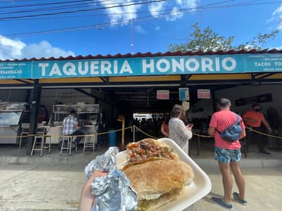
Yucatecan breakfast tacos like cochinita pibil.
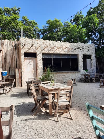
Town bar making mojitos with fresh-pressed sugarcane juice and live music.
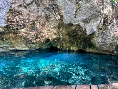
Clear cenote with caverns for snorkeling and turtles.
Base here 2–3 days for a beach town feel, a Cozumel ferry day and eco-parks along the coast.
Where Playa del Carmen → Tulum sits in the full itinerary. Highlighted stops are this leg.
Cenotes, Mayan ruins & a seven-color lagoon
This is leg 1 of 2, the opening leg.
Going the other way? Tulum to Playa del Carmen is the same 62 km in a straight line, heading north-east. Reverse directions in Google Maps ↗
The biggest gap comes in April, when Tulum averages highs 2°C warmer than Playa del Carmen.
| Measure | Jan | Feb | Mar | Apr | May | Jun | Jul | Aug | Sep | Oct | Nov | Dec |
|---|---|---|---|---|---|---|---|---|---|---|---|---|
| Playa del Carmen high | 26° | 27° | 27° | 28° | 29° | 29° | 29° | 30° | 30° | 29° | 27° | 27° |
| Tulum high | 27° | 28° | 29° | 30° | 31° | 30° | 30° | 30° | 29° | 29° | 27° | 27° |
| Playa del Carmen rain | 61 | 47 | 42 | 42 | 100 | 177 | 96 | 125 | 170 | 224 | 129 | 69 |
| Tulum rain | 50 | 41 | 41 | 41 | 110 | 181 | 116 | 149 | 185 | 208 | 111 | 60 |
Temperatures in °C, rain in mm per month. Long-term monthly averages from NASA POWER satellite climatology — a guide to typical conditions, not a forecast. Month headings link to Tulum month guides.
Playa del Carmen is about 62 km (38 mi) from Tulum in a straight line, with Tulum to the south-west. By road, we estimate 74–87 km (46–54 mi), or 1.2–1.4 times the straight line. Check a maps app for the exact route.
An estimated 55 min – 1 h 45 min, assuming 74–87 km of road at average speeds of 50–80 km/h with no stops or traffic. It is not a routed time, so check a maps app on the day.
Our Tulum & Riviera Maya itinerary includes this leg. Tulum & Riviera Maya runs about 7 days across 3 stops, best in Dec – Apr.
Add this leg to a shared itinerary, poll the group on where to stop, split fuel and tickets, and keep everyone's packing list in one place in TripsCircle.