
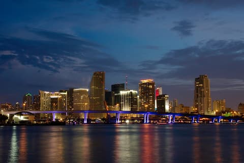
The Big Orange on Biscayne Bay, then South Beach
This is leg 1 of 1, the opening leg.
 Get the app
Travel leg · Miami New Year's Eve
Downtown Miami & Bayfront and South Beach sit about 5.3 km (3.3 mi) apart in a straight line, with South Beach to the east. It is leg 1 of 1 on our Miami New Year's Eve itinerary, a 3-day trip. It is a short hop across town, easy by local transit, ride share or on foot.
Road distance is estimated as 1.2–1.4× the straight line; drive time assumes average speeds of 25–45 km/h with no stops or traffic. These are rough estimates — check a maps app for the actual route.
We don't have live routing data, so the figures below are labelled estimates built from the straight-line distance. Use them to plan the day, then confirm in a maps app.
This is a short in-city hop of about 5.3 km in a straight line. Our Miami New Year's Eve guide suggests ride shares or taxis and walking for getting around. By car it takes an estimated 10–20 min without traffic.
Fly into Miami International (MIA) or Fort Lauderdale (FLL). The free Metromover loops downtown and Brickell with stops at Bayfront Park and College North, and Miami-Dade Transit typically extends Metrorail and Metromover hours on New Year's Eve. Biscayne Boulevard closes around the park, and rideshare surges hard from 11:30 p.m. to 2 a.m.; walk a few blocks south into Brickell before calling a car. On Jan 1, the drive over the MacArthur Causeway to South Beach takes 15 minutes; parking garages on Collins Avenue fill by midday.
Open Downtown Miami → South Beach directions in Google Maps ↗
Picks from our curated guides at both ends.
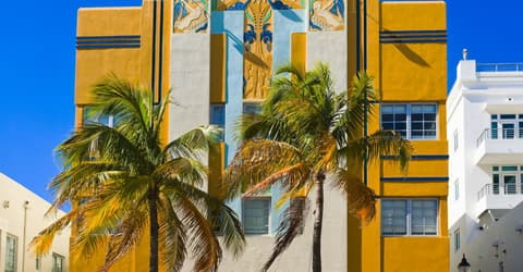
A slow Jan 1: Cuban breakfast, a swim, Art Deco Ocean Drive and sunset at the jetty.

Start point for the Miami Design Preservation League's guided Art Deco walking tours along Ocean Drive.

The classic South Beach stretch with lifeguard towers, a beach path and Ocean Drive behind you.

Old-school Cuban diner on Collins Ave serving ropa vieja, Cuban sandwiches and cafecito since 1962.
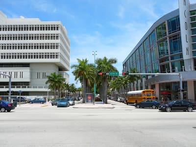
Pedestrian mall of shops, sidewalk cafés and the Sunday farmers market.
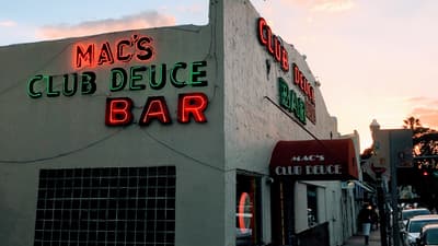
Miami Beach's oldest bar (1926): cheap drinks, a pool table and neon, open late.
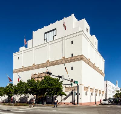
Design and propaganda museum in a 1927 storage building; a good air-conditioned break from the sun.
Two nights by the bay for the Big Orange, Cuban dinners and the fireworks.
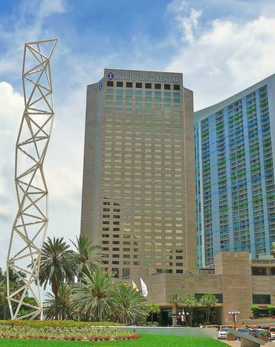
Bayfront hotel beside the park whose facade carries the Big Orange's climb at midnight; bay-view rooms face the fireworks.
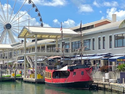
Open-air waterfront mall next to Bayfront Park, with a marina, Skyviews Miami wheel and bay views toward the fireworks barges.
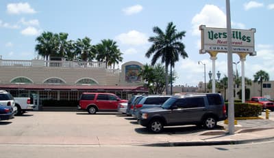
Little Havana's Cuban restaurant and ventanita since 1971: ropa vieja, croquetas, pastelitos and cafecito.
Where Downtown Miami → South Beach sits in the full itinerary. Highlighted stops are this leg.
The Big Orange on Biscayne Bay, then South Beach
This is leg 1 of 1, the opening leg.
Going the other way? South Beach to Downtown Miami & Bayfront is the same 5.3 km in a straight line, heading west. Reverse directions in Google Maps ↗
Downtown Miami & Bayfront is about 5.3 km (3.3 mi) from South Beach in a straight line, with South Beach to the east. By road, we estimate 6.3–7.4 km (3.9–4.6 mi), or 1.2–1.4 times the straight line. Check a maps app for the exact route.
An estimated 10–20 min, assuming 6.3–7.4 km of road at average speeds of 25–45 km/h with no stops or traffic. It is not a routed time, so check a maps app on the day.
Our Miami New Year's Eve itinerary includes this leg. Miami New Year's Eve runs about 3 days across 2 stops, best in Dec 30 – Jan 1.
Add this leg to a shared itinerary, poll the group on where to stop, split fuel and tickets, and keep everyone's packing list in one place in TripsCircle.