

Outdoors Ngong Ping, Lantau Island
Nei Lak Shan Country Trail
An outdoor spot in Ngong Ping, Lantau Island, free to visit and worth about 1.5 hours. Best time to go: Morning.
Why go
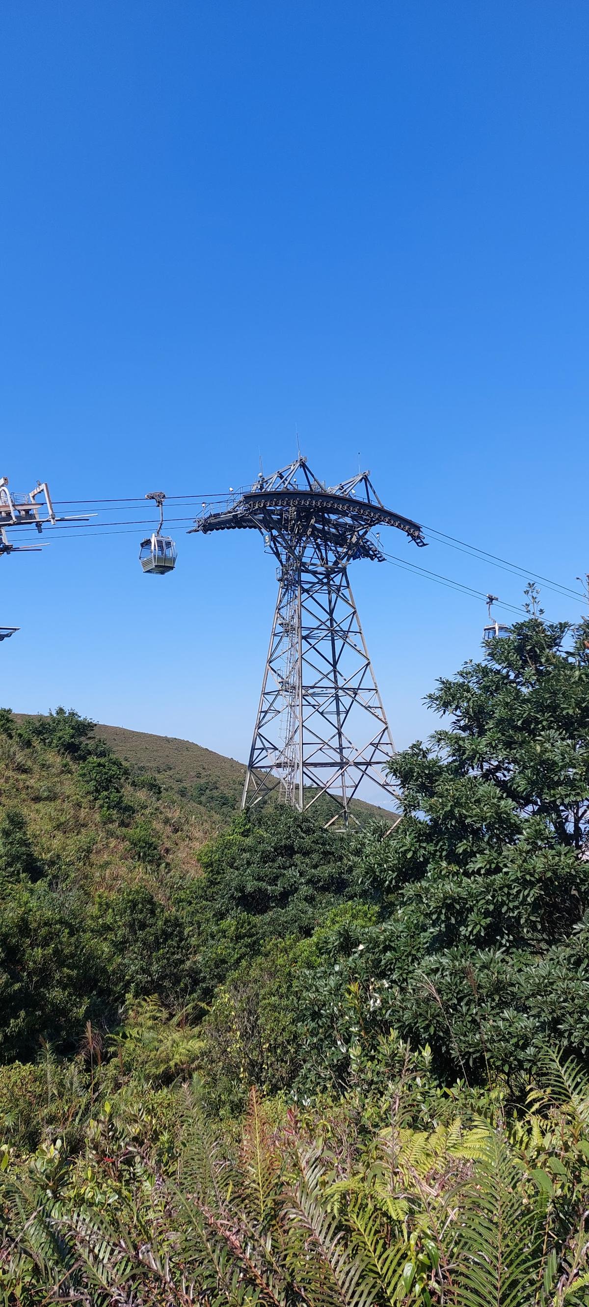
Easy loop trail on the slopes above Ngong Ping with views over the Big Buddha, the airport and the South China Sea.
It is one of 9 curated places we feature in Lantau Island, alongside 3 sights, 2 outdoor spots and 1 activity. 3 more of our picks sit within 1 km in a straight line, so it pairs easily with Tian Tan Buddha (Big Buddha) and Po Lin Vegetarian Kitchen.
- Type
- Outdoors · Nature
- Neighborhood
- Ngong Ping
- Price
- Free
- Time needed
- 1.5 hr
- Best time
- Morning
Nearby
The 6 closest curated picks in Lantau Island, measured as straight-line distance.
- 1Tian Tan Buddha (Big Buddha)
Bronze Buddha 34 meters tall, reached by 268 steps.
Sight · 0.5 km straight-line - 2Po Lin Vegetarian Kitchen
Monastery dining hall serving set Buddhist vegetarian meals.
Food · 0.6 km straight-line - 3Po Lin Monastery
Active monastery with colorful halls opposite the Big Buddha.
Sight · 0.7 km straight-line - 4Lantau Peak (Fung Wong Shan)
Hong Kong's second-highest peak, a steep climb with sweeping sea views.
Outdoors · 2.1 km straight-line - 5Tai O Fishing Village
Stilt houses over tidal creeks, dried seafood stalls and short boat trips.
Sight · 3.7 km straight-line - 6Ngong Ping 360
Cable car from Tung Chung over the bay and hills to Ngong Ping plateau.
Activity · 5.2 km straight-line
On these curated routes
Nei Lak Shan Country Trail is a stop on our Hong Kong, Lantau & Macau route. Open it to see the full day-by-day plan.

More outdoor spots in Lantau Island
Another curated outdoor spot in Lantau Island. See the full Lantau Island guide.

When to go
Average daily highs in Lantau Island run from 18°C in January to 29°C in August; June is usually the wettest month. For Nei Lak Shan Country Trail itself, we suggest: Morning.
Modelled monthly averages for Lantau Island from NASA POWER, not a forecast. Full Lantau Island weather by month.
Getting there
Map links open a live search for Nei Lak Shan Country Trail, so hours and directions come straight from the map app.
- Address
- Nei Lak Shan Country Trail, Ngong Ping, New Territories, Hong Kong
- Coordinates
- 22.25757, 113.90203
- Destination
- Lantau Island, Hong Kong
Nei Lak Shan Country Trail: quick answers
How much time do you need at Nei Lak Shan Country Trail?
Plan on about 1.5 hours at Nei Lak Shan Country Trail. That is our curated estimate for a typical visit; groups that linger will want more.
When is the best time to visit Nei Lak Shan Country Trail?
Our pick: Morning. Insider tip: Start from Ngong Ping village; the north side has the best airport views.
Is Nei Lak Shan Country Trail free?
Yes, we list Nei Lak Shan Country Trail as free to visit. Check locally before you go, since special exhibits, parking or tours can carry a fee.
Where is Nei Lak Shan Country Trail?
Nei Lak Shan Country Trail is at Nei Lak Shan Country Trail, Ngong Ping, New Territories, Hong Kong. The Google Maps and Apple Maps links on this page open it for directions.
Which TripsCircle routes include Nei Lak Shan Country Trail?
Nei Lak Shan Country Trail appears on Hong Kong, Lantau & Macau, a curated route you can open on TripsCircle and plan with your group.
Add Nei Lak Shan Country Trail to your crew's plan
Save it to a shared TripsCircle itinerary, settle the timing with a quick poll, and split the costs with everyone going to Lantau Island.
Plan Lantau Island
- Lantau Island travel guide 9 places
- Best time to visit Lantau Island weather by month
- Hong Kong Island and Kowloon to Lantau Island 23 km straight-line
- Lantau Island to Macau 41 km straight-line
Lists & regions
Also in Lantau Island
- China Bear Drinks
Curated recommendation, not live listing data. Confirm hours, prices, bookings and access before you go.