

Activity Custer State Park, Black Hills
Needles Highway
An activity in Custer State Park, Black Hills, budget-friendly ($) and worth about 1.5 hours. Best time to go: Morning.
Why go
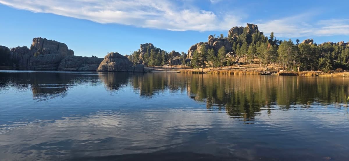
14-mile road through granite spires and one-lane tunnels, including the Needles Eye.
It is one of 10 curated places we feature in Black Hills, alongside 3 activities, 3 sights and 2 places to eat. The closest of our other picks is State Game Lodge, 3.6 mi away as the crow flies.
- Type
- Activity · Adventure
- Neighborhood
- Custer State Park
- Price
- $
- Time needed
- 1.5 hr
- Best time
- Morning
Nearby
The 6 closest curated picks in Black Hills, measured as straight-line distance.
- 1State Game Lodge
1920s lodge, the former Summer White House, serving buffalo and pheasant dishes.
Food · 3.6 mi straight-line - 2Iron Mountain Road
Winding road with pigtail bridges and tunnels that frame Mount Rushmore.
Activity · 6.2 mi straight-line - 3Wildlife Loop Road
18-mile road through Custer State Park prairie with bison herds and begging burros.
Activity · 6.2 mi straight-line - 4Black Elk Peak Trail
7-mile round trip from Sylvan Lake to a stone fire tower on South Dakota's highest point.
Activity · 7.5 mi straight-line - 5Purple Pie Place
Purple-painted pie shop in Custer known for rhubarb and berry pies.
Food · 7.5 mi straight-line - 6Sylvan Lake
Granite-ringed lake with an easy 1-mile shoreline loop and boulder scrambles.
Sight · 7.6 mi straight-line
On these curated routes
Needles Highway is a stop on our Dakotas Badlands & Black Hills route. Open it to see the full day-by-day plan.

More to do in Black Hills
Needles Highway is our only activity pick in Black Hills; here is what else we recommend there. See the full Black Hills guide.
-

Mount Rushmore National Memorial
Four presidents carved in granite, with the Presidential Trail at the base.
-

Crazy Horse Memorial
Ongoing mountain carving honoring the Lakota leader, with the Indian Museum of North America.
-

Naughti Wines
Hill City tasting room on Hwy 385 pouring its own wines plus Sick-N-Twisted beers, with a patio and firepit.
When to go
Average daily highs in Black Hills run from 30°F in December to 83°F in July; May is usually the wettest month. For Needles Highway itself, we suggest: Morning.
Modelled monthly averages for Black Hills from NASA POWER, not a forecast. Full Black Hills weather by month.
Getting there
Map links open a live search for Needles Highway, so hours and directions come straight from the map app.
- Address
- Custer, SD 57730, USA
- Coordinates
- 43.76821, -103.45669
- Destination
- Black Hills, South Dakota
Needles Highway: quick answers
How much time do you need at Needles Highway?
Plan on about 1.5 hours at Needles Highway. That is our curated estimate for a typical visit; groups that linger will want more.
When is the best time to visit Needles Highway?
Our pick: Morning. Insider tip: Tunnels are narrow (8 ft 4 in at Needles Eye); RVs check clearances.
Where is Needles Highway?
Needles Highway is at Custer, SD 57730, USA, in Custer State Park. The Google Maps and Apple Maps links on this page open it for directions.
Which TripsCircle routes include Needles Highway?
Needles Highway appears on Dakotas Badlands & Black Hills, a curated route you can open on TripsCircle and plan with your group.
Add Needles Highway to your crew's plan
Save it to a shared TripsCircle itinerary, settle the timing with a quick poll, and split the costs with everyone going to Black Hills.
Plan Black Hills
- Black Hills travel guide 10 places
- Best time to visit Black Hills weather by month
- Black Hills to Badlands National Park 64 mi straight-line
- Medora to Black Hills 217 mi straight-line
Lists & regions
Also in Black Hills
- Crazy Horse Memorial Sight
- Naughti Wines Drinks
Curated recommendation, not live listing data. Confirm hours, prices, bookings and access before you go.