

Outdoors Scenic Drive, Capitol Reef
Capitol Gorge Trail
An outdoor spot in Scenic Drive, Capitol Reef, free to visit and worth about 1.5 hours. Best time to go: Afternoon.

Why go
Flat walk through a narrow canyon to the Pioneer Register and natural water tanks.
It is one of 10 curated places we feature in Capitol Reef, alongside 3 sights, 2 activities and 2 places to eat. The closest of our other picks is Scenic Drive, 4.2 mi away as the crow flies.
- Type
- Outdoors · Nature
- Neighborhood
- Scenic Drive
- Price
- Free
- Time needed
- 1.5 hr
- Best time
- Afternoon
Nearby
The 6 closest curated picks in Capitol Reef, measured as straight-line distance.
- 1Scenic Drive
Paved road south along the Waterpocket Fold's cliffs; small entrance fee.
Sight · 4.2 mi straight-line - 2Cassidy Arch Trail
Steep 3.4-mile round trip up to a large arch you can stand above.
Activity · 4.6 mi straight-line - 3Hickman Bridge Trail
Two-mile round trip to a 133-ft natural bridge with views of Capitol Dome.
Outdoors · 6.3 mi straight-line - 4Gifford Homestead
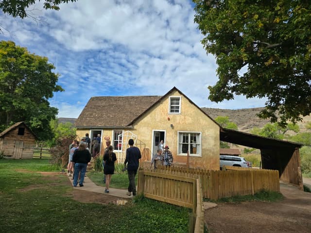
Restored pioneer farmhouse selling small fruit pies and cinnamon rolls.
Food · 6.7 mi straight-line - 5Fremont Petroglyphs
Boardwalk along Highway 24 with Fremont-culture rock art figures.
Sight · 6.7 mi straight-line - 6Fruita Orchards
Historic orchards where you can pick cherries, apricots, peaches and apples in season.
Activity · 6.9 mi straight-line
On these curated routes
Capitol Gorge Trail is a stop on our Utah Mighty Five route. Open it to see the full day-by-day plan.

More to do in Capitol Reef
Capitol Gorge Trail is our only outdoors pick in Capitol Reef; here is what else we recommend there. See the full Capitol Reef guide.


When to go
Average daily highs in Capitol Reef run from 42°F in December to 92°F in July; July is usually the wettest month. For Capitol Gorge Trail itself, we suggest: Afternoon.
Modelled monthly averages for Capitol Reef from NASA POWER, not a forecast. Full Capitol Reef weather by month.
Getting there
Map links open a live search for Capitol Gorge Trail, so hours and directions come straight from the map app.
- Address
- Torrey, UT 84775, USA
- Coordinates
- 38.20958, -111.16917
- Destination
- Capitol Reef, Utah
Capitol Gorge Trail: quick answers
How much time do you need at Capitol Gorge Trail?
Plan on about 1.5 hours at Capitol Gorge Trail. That is our curated estimate for a typical visit; groups that linger will want more.
When is the best time to visit Capitol Gorge Trail?
Our pick: Afternoon. Insider tip: Dirt access road closes after rain.
Is Capitol Gorge Trail free?
Yes, we list Capitol Gorge Trail as free to visit. Check locally before you go, since special exhibits, parking or tours can carry a fee.
Where is Capitol Gorge Trail?
Capitol Gorge Trail is at Torrey, UT 84775, USA, in Scenic Drive. The Google Maps and Apple Maps links on this page open it for directions.
Which TripsCircle routes include Capitol Gorge Trail?
Capitol Gorge Trail appears on Utah Mighty Five, a curated route you can open on TripsCircle and plan with your group.
Add Capitol Gorge Trail to your crew's plan
Save it to a shared TripsCircle itinerary, settle the timing with a quick poll, and split the costs with everyone going to Capitol Reef.
Plan Capitol Reef
- Capitol Reef travel guide 10 places
- Best time to visit Capitol Reef weather by month
- Bryce Canyon to Capitol Reef 70 mi straight-line
- Capitol Reef to Arches 95 mi straight-line
Lists & regions
Also in Capitol Reef
- Rim Rock Patio Drinks
- Hunt & Gather Food
- Capitol Reef Visitor Center Sight
Curated recommendation, not live listing data. Confirm hours, prices, bookings and access before you go.