


Red rock national parks loop
This is leg 3 of 4.
 Get the app
Travel leg · Utah Mighty Five
Capitol Reef and Arches sit about 153 km (95 mi) apart in a straight line, with Arches to the east. It is leg 3 of 4 on our Utah Mighty Five itinerary, an 8-day trip. Here is how long it takes by car, what to see on the way and where it fits in a real itinerary.

Road distance is estimated as 1.2–1.4× the straight line; drive time assumes average speeds of 65–95 km/h with no stops or traffic. These are rough estimates — check a maps app for the actual route.
We don't have live routing data, so the figures below are labelled estimates built from the straight-line distance. Use them to plan the day, then confirm in a maps app.
Most travelers on our Utah Mighty Five itinerary do this leg by car. We estimate 184–215 km (114–133 mi) of road and 2 h – 3 h 15 min behind the wheel, so check live traffic before you set off.
You will need a car, and most travelers fly into Las Vegas or Salt Lake City and drive the loop. Distances between parks are real, and services thin out in places. Check road, weather and park conditions before each leg and keep the tank filled.
Picks from our curated guides at both ends, plus 2 places near the straight-line path.
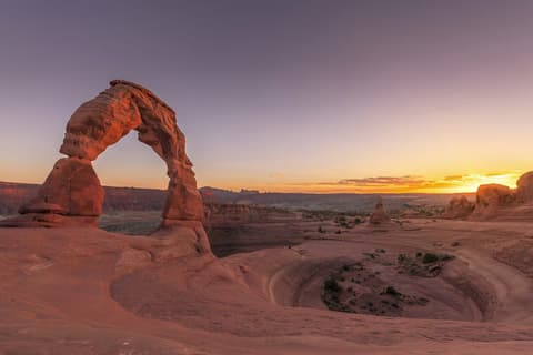
Spend 1–2 days from Moab: Delicate Arch at sunset, Windows and Devils Garden, then dinner on Main Street.
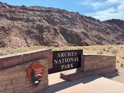
Park entrance with exhibits and ranger trail updates.
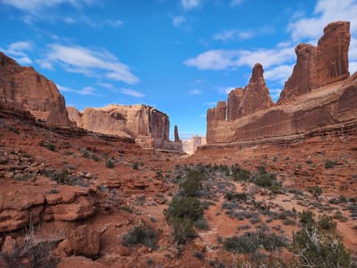
Short walk between tall fins that look like a city skyline.
Three-mile round trip over slickrock to Utah's most famous arch.
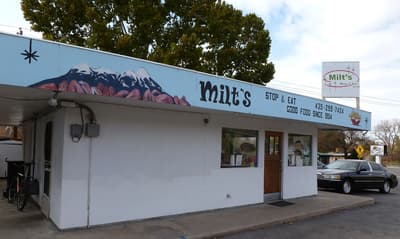
Moab burger stand since 1954 with hand-cut fries and milkshakes.
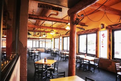
Moab's original brewpub with house beers and a big menu.
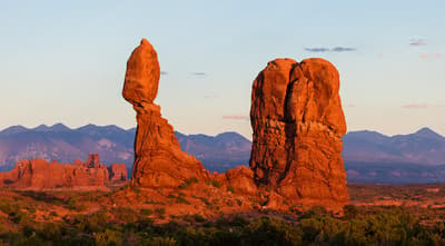
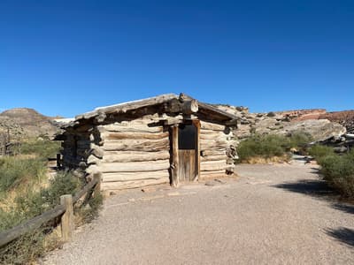
A 128-ft rock pinnacle with a big boulder on top, with a short loop trail around it.
These places from our other itineraries sit within about 23 km of the straight line between Capitol Reef and Arches. The road may not pass them directly, so check how far off your route they are.
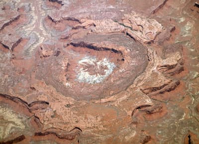
Short hike to a strange crater whose origin (salt dome or meteor) is still debated.

Info, maps and ranger talks on the mesa-top district.
Give it a full day: Fruita's orchards and petroglyphs, the Scenic Drive, and one short canyon hike, then dinner in Torrey.
Where Capitol Reef → Arches sits in the full itinerary. Highlighted stops are this leg.
Red rock national parks loop
This is leg 3 of 4.
Going the other way? Arches to Capitol Reef is the same 153 km in a straight line, heading west. Reverse directions in Google Maps ↗
The biggest gap comes in July, when Arches averages highs 2°C warmer than Capitol Reef.
| Measure | Jan | Feb | Mar | Apr | May | Jun | Jul | Aug | Sep | Oct | Nov | Dec |
|---|---|---|---|---|---|---|---|---|---|---|---|---|
| Capitol Reef high | 6° | 7° | 12° | 17° | 23° | 31° | 34° | 32° | 27° | 19° | 11° | 5° |
| Arches high | 6° | 8° | 14° | 19° | 25° | 33° | 36° | 33° | 29° | 20° | 12° | 6° |
| Capitol Reef rain | 19 | 18 | 22 | 20 | 20 | 11 | 29 | 26 | 27 | 27 | 18 | 20 |
| Arches rain | 23 | 23 | 24 | 22 | 23 | 12 | 31 | 31 | 34 | 31 | 21 | 27 |
Temperatures in °C, rain in mm per month. Long-term monthly averages from NASA POWER satellite climatology — a guide to typical conditions, not a forecast. Month headings link to Arches month guides.
Capitol Reef is about 153 km (95 mi) from Arches in a straight line, with Arches to the east. By road, we estimate 184–215 km (114–133 mi), or 1.2–1.4 times the straight line. Check a maps app for the exact route.
An estimated 2 h – 3 h 15 min, assuming 184–215 km of road at average speeds of 65–95 km/h with no stops or traffic. It is not a routed time, so check a maps app on the day.
Near the straight-line path we have 2 places from our curated guides, including Upheaval Dome (Canyonlands), Island in the Sky Visitor Center (Canyonlands). The road may not pass them directly, so check the detour.
Our Utah Mighty Five itinerary includes this leg. Utah Mighty Five runs about 8 days across 5 stops, best in Mar – May.
Add this leg to a shared itinerary, poll the group on where to stop, split fuel and tickets, and keep everyone's packing list in one place in TripsCircle.