

Waterfalls, black sand & glacier lagoons
This is leg 1 of 3, the opening leg.
 Get the app
Travel leg · Iceland Ring Road
Reykjavík and Vík sit about 165 km (103 mi) apart in a straight line, with Vík to the south-east. It is leg 1 of 3 on our Iceland Ring Road itinerary, a 10-day trip. Here is how long it takes by car, what to see on the way and where it fits in a real itinerary.

Road distance is estimated as 1.2–1.4× the straight line; drive time assumes average speeds of 65–95 km/h with no stops or traffic. These are rough estimates — check a maps app for the actual route.
We don't have live routing data, so the figures below are labelled estimates built from the straight-line distance. Use them to plan the day, then confirm in a maps app.
Most travelers on our Iceland Ring Road itinerary do this leg by car. We estimate 198–232 km (123–144 mi) of road and 2 h – 3 h 30 min behind the wheel, so check live traffic before you set off.
A rental car is the standard way to do the ring road, with a loop that returns you to the starting region. Some travelers join guided tours for parts of it, while domestic flights can shorten the trip if time is tight.
Picks from our curated guides at both ends.
Allow a full day for the waterfalls on the drive in plus black-sand beaches, and overnight in Vík.

60-meter waterfall with a path that loops behind the falls.

Guided glacier hike on an outlet of Mýrdalsjökull with crampons and axes.

Red-roofed hillside church overlooking Vík and the sea stacks.

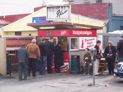
Restaurant in an old house serving lamb, burgers and Asian dishes.

Vík craft brewery and burger bar.
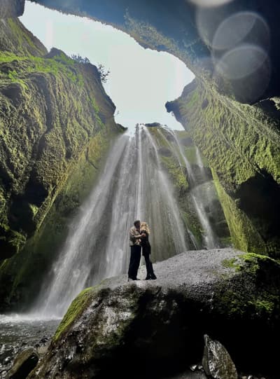
Hidden waterfall in a narrow canyon just north of Seljalandsfoss.
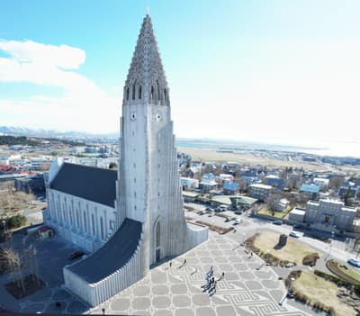
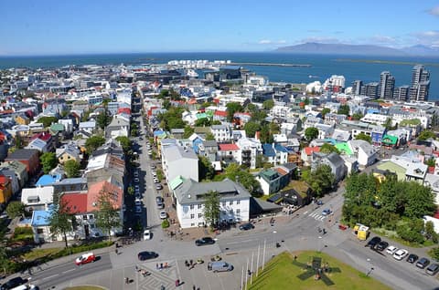
Spend one to two days: the old center and harbor on foot, a lagoon soak, and a half-day out to Þingvellir.
Where Reykjavík → Vík sits in the full itinerary. Highlighted stops are this leg.
Waterfalls, black sand & glacier lagoons
This is leg 1 of 3, the opening leg.
Going the other way? Vík to Reykjavík is the same 165 km in a straight line, heading north-west. Reverse directions in Google Maps ↗
Average daytime highs at both ends stay within 1°C of each other all year, so you can pack the same way for both. Over a year, Vík gets about 730 mm more rain.
| Measure | Jan | Feb | Mar | Apr | May | Jun | Jul | Aug | Sep | Oct | Nov | Dec |
|---|---|---|---|---|---|---|---|---|---|---|---|---|
| Reykjavík high | 2° | 3° | 3° | 6° | 9° | 12° | 14° | 14° | 10° | 7° | 4° | 3° |
| Vík high | 3° | 4° | 4° | 6° | 8° | 11° | 13° | 13° | 10° | 7° | 5° | 4° |
| Reykjavík rain | 169 | 152 | 153 | 119 | 93 | 83 | 99 | 121 | 181 | 147 | 149 | 172 |
| Vík rain | 250 | 232 | 222 | 174 | 124 | 120 | 144 | 166 | 229 | 235 | 221 | 251 |
Temperatures in °C, rain in mm per month. Long-term monthly averages from NASA POWER satellite climatology — a guide to typical conditions, not a forecast. Month headings link to Vík month guides.
Reykjavík is about 165 km (103 mi) from Vík in a straight line, with Vík to the south-east. By road, we estimate 198–232 km (123–144 mi), or 1.2–1.4 times the straight line. Check a maps app for the exact route.
An estimated 2 h – 3 h 30 min, assuming 198–232 km of road at average speeds of 65–95 km/h with no stops or traffic. It is not a routed time, so check a maps app on the day.
Our Iceland Ring Road itinerary includes this leg. Iceland Ring Road runs about 10 days across 4 stops, best in Jun – Sep.
Add this leg to a shared itinerary, poll the group on where to stop, split fuel and tickets, and keep everyone's packing list in one place in TripsCircle.