
Historic streets, harbor towns & seafood
This is leg 1 of 2, the opening leg.
 Get the app
Travel leg · Boston to Portland
Boston and Portsmouth sit about 83 km (51 mi) apart in a straight line, with Portsmouth to the north. It is leg 1 of 2 on our Boston to Portland itinerary, a 5-day trip. Here is how long it takes by car, what to see on the way and where it fits in a real itinerary.
Road distance is estimated as 1.2–1.4× the straight line; drive time assumes average speeds of 50–80 km/h with no stops or traffic. These are rough estimates — check a maps app for the actual route.
We don't have live routing data, so the figures below are labelled estimates built from the straight-line distance. Use them to plan the day, then confirm in a maps app.
Most travelers on our Boston to Portland itinerary do this leg by car. We estimate 99–116 km (62–72 mi) of road and 1 h 15 min – 2 h 15 min behind the wheel, so check live traffic before you set off.
Our Boston to Portland guide also mentions trains for parts of the trip. Whether a direct train links Boston and Portsmouth depends on the line — check timetables.
Driving north along the coast is the usual way, and it keeps the schedule flexible. Rail service also connects Boston with Portland, which suits groups who would rather skip the highway. Inside each town, walking covers nearly everything.
Picks from our curated guides at both ends.
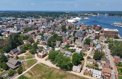
A day is enough: historic houses, harbor walks and a seafood dinner downtown.

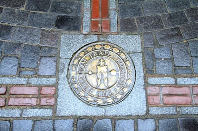
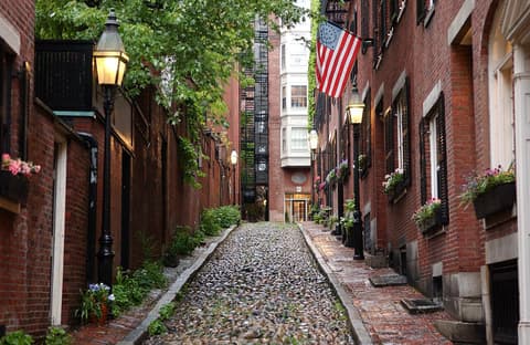
Brick-lined center of town with shops, cafés and the North Church spire.
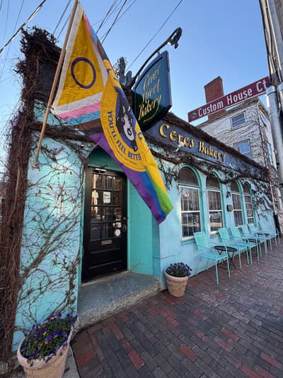
Long-running downtown bakery for coffee, scones and soup.

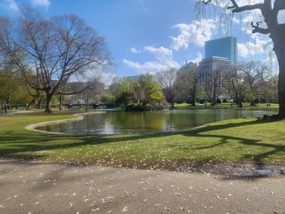
Waterfront gardens across from Strawbery Banke with harbor views.

Narrated harbor and Isles of Shoals cruises from Ceres Street dock.

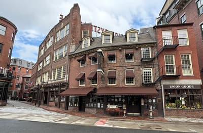
Longest-running bar and live-music room in downtown Portsmouth: jazz, blues and local bands in a brick basement pub.

Ten acres of restored houses spanning 300 years of a waterfront neighborhood.
Give it two days: the Freedom Trail and North End one day, Back Bay museums and Fenway the next.
Where Boston → Portsmouth sits in the full itinerary. Highlighted stops are this leg.
Historic streets, harbor towns & seafood
This is leg 1 of 2, the opening leg.
Going the other way? Portsmouth to Boston is the same 83 km in a straight line, heading south. Reverse directions in Google Maps ↗
The biggest gap comes in July, when Portsmouth averages highs 5°C cooler than Boston.
| Measure | Jan | Feb | Mar | Apr | May | Jun | Jul | Aug | Sep | Oct | Nov | Dec |
|---|---|---|---|---|---|---|---|---|---|---|---|---|
| Boston high | 1° | 2° | 6° | 13° | 19° | 24° | 28° | 28° | 24° | 17° | 10° | 4° |
| Portsmouth high | 1° | 2° | 5° | 10° | 14° | 19° | 23° | 23° | 20° | 15° | 9° | 4° |
| Boston rain | 80 | 86 | 110 | 107 | 95 | 113 | 94 | 93 | 92 | 123 | 98 | 116 |
| Portsmouth rain | 104 | 107 | 122 | 119 | 101 | 116 | 91 | 94 | 88 | 135 | 116 | 144 |
Temperatures in °C, rain in mm per month. Long-term monthly averages from NASA POWER satellite climatology — a guide to typical conditions, not a forecast. Month headings link to Portsmouth month guides.
Boston is about 83 km (51 mi) from Portsmouth in a straight line, with Portsmouth to the north. By road, we estimate 99–116 km (62–72 mi), or 1.2–1.4 times the straight line. Check a maps app for the exact route.
An estimated 1 h 15 min – 2 h 15 min, assuming 99–116 km of road at average speeds of 50–80 km/h with no stops or traffic. It is not a routed time, so check a maps app on the day.
Our Boston to Portland itinerary includes this leg. Boston to Portland runs about 5 days across 3 stops, best in May – Oct.
Add this leg to a shared itinerary, poll the group on where to stop, split fuel and tickets, and keep everyone's packing list in one place in TripsCircle.