

Argentina
El Chaltén
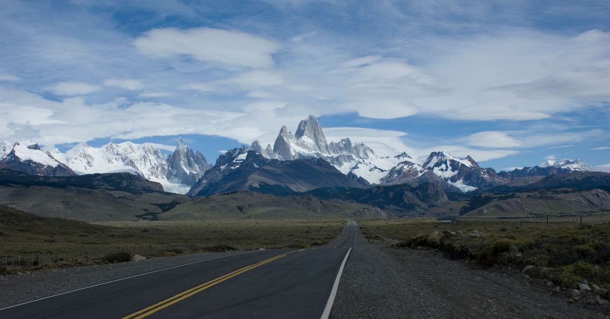
Stay three days so weather windows give you both Fitz Roy and Cerro Torre; trails start at the edge of town. Below: 1 activity, 6 outdoor spots and 2 places to eat, plus how El Chaltén fits into a longer trip.
- Places
- 10
- Curated routes
- 1
- Best season
- Nov – Mar
- Warmest month
- February
- Coolest month
- July
- Wettest month
- April
1 Do · 6 Outdoors · 2 Eat · 1 Drink
Patagonia Peaks
from our route notes
11°C / 52°F avg high
2°C / 35°F avg high
about 160 mm rain
Climate: NASA POWER 2001–2025 averages.
Things to do in El Chaltén
10 places from our curated routes, grouped by what you will do there. Each one has its own page with the address and full notes.
Do
1 activity for when the group wants to do more than look in Lago Viedma.
 Photo: Gabriele Leoni · GoogleDo
Viedma Glacier ice trek
Boat across Lago Viedma and crampon walk on the glacier.
Tip Book a day ahead with a licensed operator in town.
Outdoors
6 outdoor spots for fresh air across Town edge, Los Glaciares NP and North of town. All 6 are free to visit.
 Photo: Georg Stockmaier · GoogleOutdoors
Mirador de los Cóndores y las Águilas
Short climb above town with views of Fitz Roy and Lago Viedma.
Tip Good arrival-day hike; condors often ride the thermals.
 Photo: Cristian Diaz · GoogleOutdoors
Laguna de los Tres
Classic day hike to the glacial lake at the foot of Monte Fitz Roy.
Tip 20 km round trip; last hour is very steep. Start pre-dawn for sunrise.
 Photo: Gagea · CC BY-SA 3.0
 Photo: Anja Bremer · Google
 Photo: Técnico “Luis” Rey · Google
 Photo: Sônia Alencastro · Google
Eat
Where we would book a table in El Chaltén in Centro.
 Photo: Pat Fransoo · Google
 Photo: Patagonicus sur · Google
Drink
Our picks for a drink in El Chaltén in Centro.
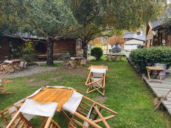 Photo: manul 마늘 · Google
How to fit El Chaltén into a trip
El Chaltén is stop 3 of 3 on our Patagonia Peaks route. Follow it as-is or lift El Chaltén into your own plan.

Stop 3 of 3
Patagonia Peaks
Torres del Paine & El Chaltén
- Trip length
- 10 days
- Best season
- Nov – Mar
- Pace
- challenging
- Before: Torres del Paine
Getting here and onward
- Torres del Paine to El ChalténTorres del Paine is about 183 km / 114 mi away in a straight line
Distances are straight-line estimates between destination centers, not road distances.
El Chaltén month by month
Average daily highs run from 2°C / 35°F in July to 11°C / 52°F in February. April is the wettest month, with about 160 mm of rain. Outlined months fall in the best season on our routes.
- Jan11° / 51°F average high, in our recommended season
- Feb11° / 52°F average high, in our recommended season
- Mar10° / 49°F average high, in our recommended season
- Apr8° / 46°F average high
- May5° / 41°F average high
- Jun2° / 36°F average high
- Jul2° / 35°F average high
- Aug3° / 37°F average high
- Sep5° / 41°F average high
- Oct7° / 45°F average high
- Nov8° / 47°F average high, in our recommended season
- Dec10° / 50°F average high, in our recommended season
Average daily highs, NASA POWER 2001–2025 averages. El Chaltén weather and the best time to visit →
Near El Chaltén
2 other destinations from our guides within about 300 km (186 mi), measured in a straight line.
El Chaltén questions, answered
How many days do you need in El Chaltén?
Our route notes suggest 3 days in El Chaltén. On our Patagonia Peaks route it is stop 3 of 3 in a 10-day trip. The listed visit times for our 10 places add up to roughly 43 hours, before travel between them, so you will need to choose.
What is El Chaltén best known for?
Stay three days so weather windows give you both Fitz Roy and Cerro Torre; trails start at the edge of town. Standouts on our list: Mirador de los Cóndores y las Águilas (Short climb above town with views of Fitz Roy and Lago Viedma); Laguna de los Tres (Classic day hike to the glacial lake at the foot of Monte Fitz Roy); Laguna Torre (Moderate hike to a glacier lake beneath the Cerro Torre spire).
When is the best time to visit El Chaltén?
Our Patagonia Peaks route is best Nov – Mar. NASA POWER 2001–2025 averages put the warmest highs in February (11°C / 52°F), the coolest in July (2°C / 35°F) and the most rain in April (about 160 mm).
What are the best things to do in El Chaltén?
Start with Mirador de los Cóndores y las Águilas, Laguna de los Tres, Laguna Torre, Chorrillo del Salto and Loma del Pliegue Tumbado. Our guide lists 10 places in all, from 1 activity, 6 outdoor spots, 2 places to eat and 1 bar or café.
Where should a group eat in El Chaltén?
Our picks: La Tapera (Centro); Patagonicus (Centro). Book in high season (La Tapera).
What is near El Chaltén?
The closest destinations in our guides are Torres del Paine (about 183 km / 114 mi) and Puerto Natales (about 267 km / 166 mi). Distances are straight-line estimates, not road distances.
Plan El Chaltén with your crew
Open the Patagonia Peaks route in TripsCircle, invite friends with a link, settle which of these 10 places make the cut with a quick poll, then split costs and share one packing list.
Plan around El Chaltén
More in Argentina
- Valle de Uco 7 places
- Mendoza 9 places
- Buenos Aires 10 places
- Iguazú 10 places