Trip guide
Planning Pacific Coast Highway.
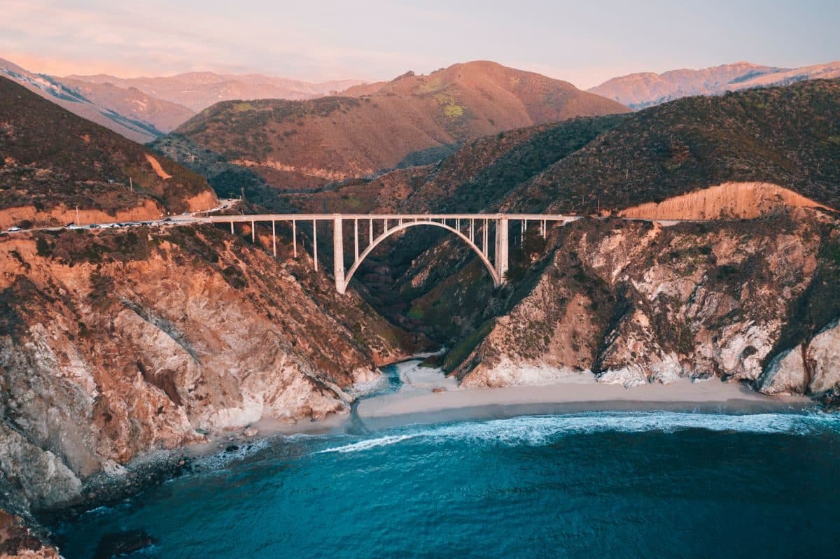
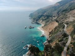
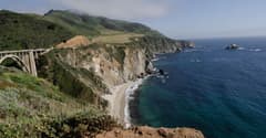
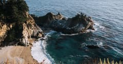
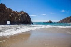
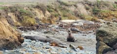
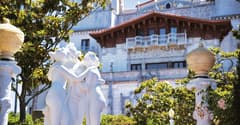
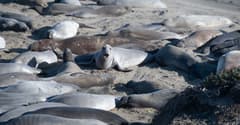
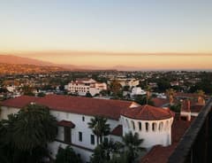
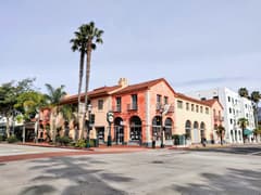
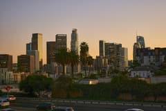
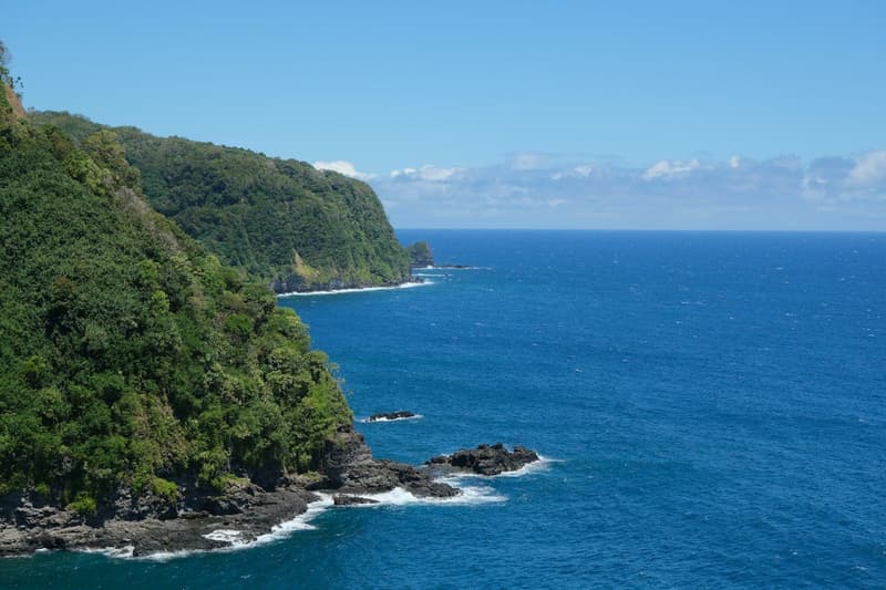
This is a coastal drive that starts in the fog and finishes in the sun. You leave San Francisco, roll south to the aquarium and cypress shoreline of Monterey and Carmel, then reach Big Sur, where cliffs and pullouts set the pace. San Simeon adds a grand hilltop estate and elephant seal beaches. Santa Barbara brings red roofs and an easy beach town mood, and the route ends in Los Angeles. Most days are short on driving and long on stopping.
Good for Friends who want a classic scenic road trip
When to go
April through October gives the best odds of clear coastal views and open roads. Summer brings long daylight but also marine fog in some stretches and busier pullouts. Spring is greener and calmer. Winter storms can close sections of the highway, so check road conditions before you commit.
Getting around
A car is the whole point here, and one shared vehicle keeps the group together. Plan to drive south to north or north to south and pick up or drop off a rental in the two big cities. Train and bus options exist for some legs but skip the scenic parts.
Tips for your crew
- Give Big Sur its own slow half day. The road is winding, so build in photo stops, and plan a rotating driver so nobody gets worn out.
- Fill the tank and pick up snacks before the remote central stretch. Services are sparse, and phone signal can drop out for long periods.
- Reserve Santa Barbara and Los Angeles lodging early in busy months. Carmel and Monterey fill quickly on weekends, so a midweek night there is easier.